Stephen J. Hubertus Land Surveyor Professional Land Surveyor
TOPOGRAPHIC SURVEYS
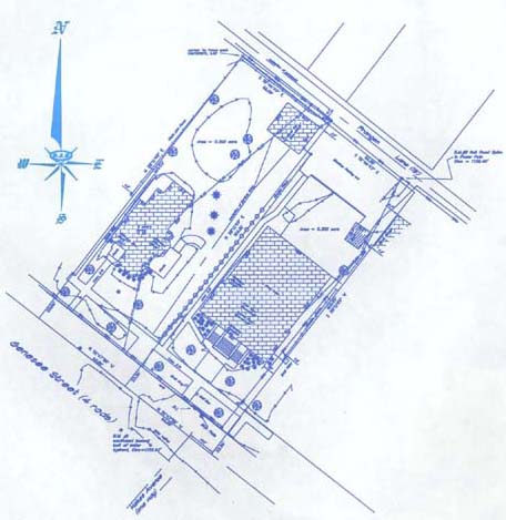
The “Topo” survey is a survey that shows the configuration of the ground (i.e. hills, valleys, ponds, streams, avenues of drainage and the location of the
natural and artificial objects on the subject parcel This type of survey is usually used for Subdivisions, proposed building projects, accidents and crime scene mapping..